
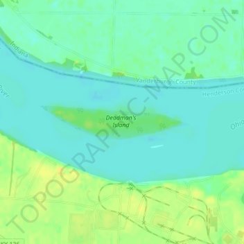
Mapa topográfico Deadman's Island
Mapa interativo
Clique no mapa para exibir a altitude.
Sobre este mapa
Nome: Mapa topográfico Deadman's Island, altitude, relevo.
Local: Deadman's Island, Henderson County, Kentucky, USA (37.82040 -87.66867 37.82382 -87.64876)
Altitude média: 112 m
Altitude mínima: 103 m
Altitude máxima: 126 m
Outros mapas topográficos
Clique em um mapa para visualizar sua topografia, sua altitude e seu relevo.
Forest Hills
USA > Kentucky > Forest Hills
Forest Hills, Jefferson County, Kentucky, USA
Altitude média: 202 m
Mammoth Cave
USA > Kentucky > Mammoth Cave
Mammoth Cave, Edmonson County, Kentucky, USA
Altitude média: 214 m
Stephens Lake
Stephens Lake, Hicks Road, Beelerton, Hickman County, Kentucky, 42085, USA
Altitude média: 112 m
Murray Hill
USA > Kentucky > Murray Hill
Murray Hill, Jefferson County, Kentucky, USA
Altitude média: 194 m
Georgetown
USA > Kentucky > Georgetown
Georgetown, Scott County, Kentucky, 40324, USA
Altitude média: 265 m