
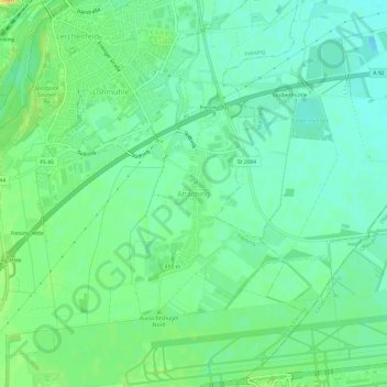
Mapa topográfico Attaching
Mapa interativo
Clique no mapa para exibir a altitude.
Sobre este mapa
Nome: Mapa topográfico Attaching, altitude, relevo.
Altitude média: 443 m
Altitude mínima: 431 m
Altitude máxima: 463 m
Outros mapas topográficos
Clique em um mapa para visualizar sua topografia, sua altitude e seu relevo.
Amperleite
Deutschland > Bayern > Landkreis Freising > Freising > Erlau
Amperleite, Erlau, Freising, Landkreis Freising, Bayern, 85406, Deutschland
Altitude média: 460 m
Altenhausen
Deutschland > Bayern > Landkreis Freising > Freising
Altenhausen, Freising, Landkreis Freising, Bayern, 85356, Deutschland
Altitude média: 467 m
Xaverienthal
Deutschland > Bayern > Landkreis Freising > Freising > Altenhausen
Xaverienthal, Altenhausen, Freising, Landkreis Freising, Bayern, 85356, Deutschland
Altitude média: 469 m