
Mapa topográfico Fansipan
Mapa interativo
Clique no mapa para exibir a altitude.
Sobre este mapa
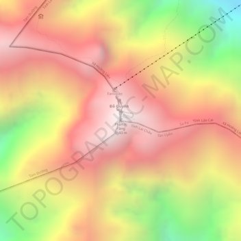
Nome: Mapa topográfico Fansipan, altitude, relevo.
Altitude média: 2616 m
Altitude mínima: 1822 m
Altitude máxima: 3099 m
Fansipan is the tallest mountain in the Hoang Lien Son Range, situated on the border of Lào Cai Province and Lai Châu Province with its peak located on the Lào Cai side. The mountain is part of the Hoàng Liên National Park. It has a topographic prominence of 1,613 metres (5,292 ft), ranking 6th in Vietnam.
Outros mapas topográficos
Clique em um mapa para visualizar sua topografia, sua altitude e seu relevo.
Cat Cat Village
Vietnam > Lao Cai province > Sa Pa > Hoang Lien Commune
Cat Cat Village, Hoang Lien Commune, Sa Pa, Lào Cai Province, 33000, Vietnam
Altitude média: 1421 m