
Mapa topográfico Berry Islands
Mapa interativo
Clique no mapa para exibir a altitude.
Sobre este mapa
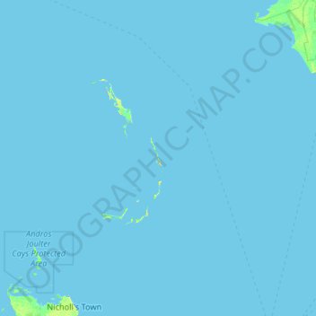
Nome: Mapa topográfico Berry Islands, altitude, relevo.
Local: Berry Islands, The Bahamas (25.14657 -78.25113 26.03400 -77.20010)
Altitude média: 0 m
Altitude mínima: 0 m
Altitude máxima: 23 m
Outros mapas topográficos
Clique em um mapa para visualizar sua topografia, sua altitude e seu relevo.
Stanleyville
Stanleyville, New Providence, The Bahamas
Altitude média: 7 m
Harbour Island
Harbour Island, Dunmore Town, Harbour Island, The Bahamas
Altitude média: 1 m
Williams Island
Williams Island, North Andros, The Bahamas
Altitude média: 0 m
Highbury Park
Highbury Park, New Providence, The Bahamas
Altitude média: 7 m
Grand Bahama
The Bahamas > East Grand Bahama
Grand Bahama, East Grand Bahama, The Bahamas
Altitude média: 1 m
Russell Island
Russell Island, Spanish Wells, The Bahamas
Altitude média: 1 m
Charlotteville
Charlotteville, New Providence, The Bahamas
Altitude média: 5 m
Little Whale Cay
The Bahamas > West Grand Bahama
Little Whale Cay, West Grand Bahama, The Bahamas
Altitude média: 0 m